Technology
Evidence-led exploration, not exploratory guesswork
Traditional exploration commits heavy capital early. Our approach front-loads non-invasive imaging and data integration, so drilling decisions are made against a model built from several independent physical measurements.
Toolkit
Six capabilities working together
No single method proves a hydrocarbon accumulation. Agreement between independent methods is what moves a lead to a drillable prospect.
Nuclear magnetic resonance (NMR)
Surface and borehole NMR responds directly to hydrogen in pore fluids, helping distinguish hydrocarbon-bearing intervals from water-filled rock rather than inferring it indirectly.
Deep resistivity profiling
Resistivity profiling maps structural boundaries, faulting and fluid contrasts at depth without drilling or heavy site disturbance.
Airborne geophysics
Aeromagnetic, gravity and electromagnetic surveys cover large, difficult-access acreage quickly, framing the basin architecture before ground work is committed.
AI-assisted interpretation
Machine-learning workflows integrate multi-physics datasets into a single subsurface model, ranking targets on evidence rather than on any one survey type.
Low-impact acquisition
Because much of our imaging is non-invasive, large areas of the licence can be assessed without heavy site clearance — reducing environmental disturbance and mobilisation cost.
Independent verification
Datasets and interpretations are reviewed with an established London-based technical partner and are structured for competent-person audit.
Workflow
From basin to drillable prospect
01
Regional framing
Airborne magnetic, gravity and electromagnetic acquisition establishes basin architecture, depth to basement and major structural trends across the whole licence area.
02
Ground verification
Deep resistivity and NMR profiling are run on the leads identified from the air, testing them for fluid-bearing signature at depth.
03
Geochemistry
Surface and fluid sampling is analysed in laboratory conditions to characterise hydrocarbon presence and quality independently of the geophysics.
04
Integration & ranking
Machine-learning workflows merge every dataset into a single model, then rank prospects by converging evidence and drilling risk.
Why it matters
Lower impact, lower cost, better decisions
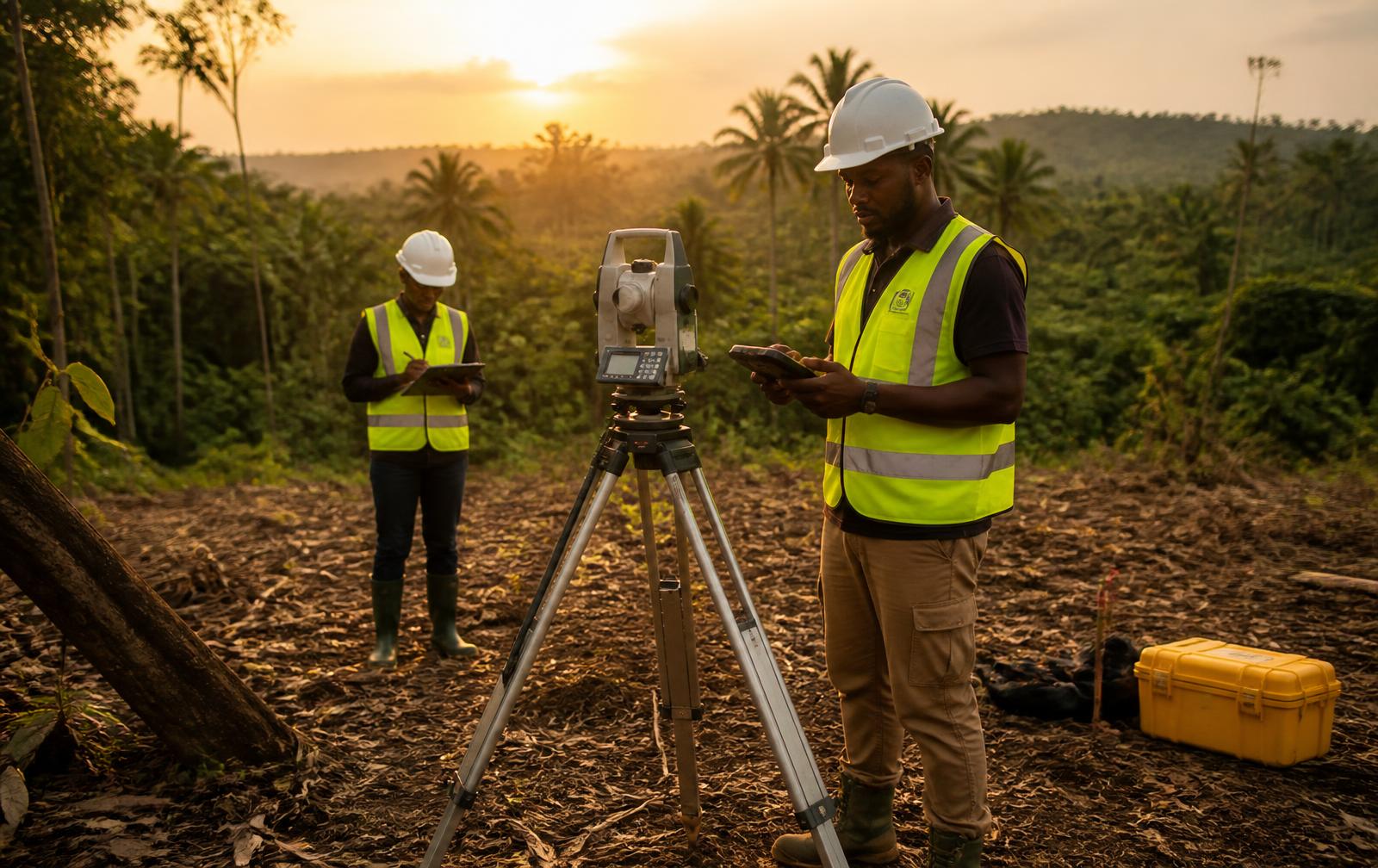
Because much of our imaging is non-invasive, large areas of the licence can be assessed without heavy site clearance or exploratory drilling.
- Reduced environmental disturbance in sensitive forest and farmland environments.
- Faster coverage of difficult-access terrain, so decisions are made on the block, not on a fragment of it.
- Lower mobilisation cost per square kilometre, which keeps exploration capital focused on interpretation and drilling.
- Datasets structured for independent technical audit from the outset.
Technical due diligence welcome
Our survey design and interpretation are progressed with an established London-based technical partner and structured for competent-person review.